


Maintaining consistent, high-quality playing surfaces has never been tougher — especially in southern Europe
– November 3, 2025 | Partner contributor
Across the Algarve, extended dry seasons, rising irrigation costs, and growing pressure to operate sustainably are changing how course managers approach turf care. Extreme weather means small issues can escalate quickly, demanding faster, data-driven decisions about water and maintenance.
That’s where AerialData, a drone survey specialist, is helping greenkeepers see what the eye can’t.
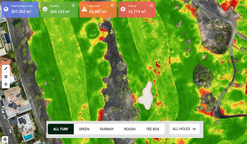
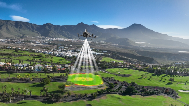
Multispectral drone surveys reveal early signs of turf stress that are invisible at ground level – often up to two weeks before symptoms appear. The drones capture both visual (RGB) and multispectral imagery across five light bands, measuring how turf reflects and absorbs light. This process covers the entire course in minutes, providing a faster and more consistent assessment than traditional ground inspections. These variations indicate stress caused by drought, over-watering, compaction, or nutrient imbalance.
The processed imagery is visualised in Turf Health Explorer, an intuitive online platform that turns complex aerial data into clear, actionable insights — from turf-health maps to performance trends and hotspot detection. Greenkeepers can quickly identify areas that need attention, compare surveys through the season, and share insights with colleagues.
“Greenkeepers already have deep knowledge of their courses,” says Stefan Otto, Co-Founder of AerialData. “Our technology doesn’t replace that experience – it adds another valuable tool to the box. When instinct is supported by measurable data, decisions become faster, more confident, and more sustainable.”
Each report highlights patterns of turf health, helping course teams target irrigation, fertilisation, and maintenance where they’re most needed. Irrigation and drainage maps can also be overlaid, giving a clear picture of water performance across greens, fairways, and rough. The result is more efficient resource use, lower costs, and improved playing consistency.
As sustainability becomes a greater focus across golf, the ability to fine-tune water and fertiliser use is increasingly important. Drone-based monitoring provides clear, measurable evidence of responsible course management – helping clubs reduce waste and operate more efficiently.
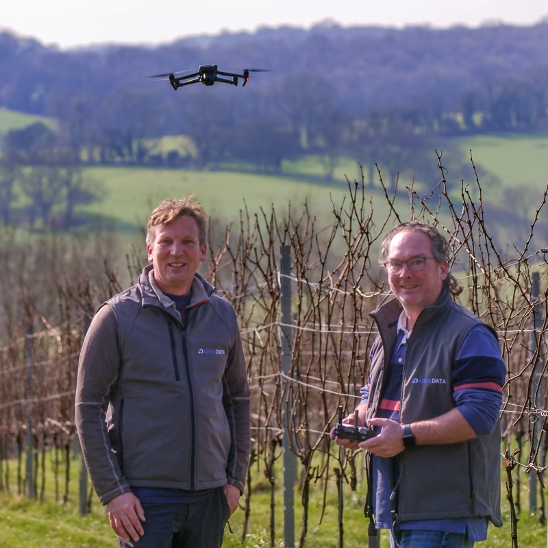
Modern drone technology has become far less intrusive than many might imagine. Compact aircraft operate hundreds of feet above the course, quietly capturing detailed imagery without disrupting play. Flights are typically completed in under an hour – a fraction of the time it would take to inspect the whole course at ground level – with players rarely aware that a survey is taking place.
Within 48 hours, course teams can access clear reports showing where turf is thriving or under stress. When compared across multiple surveys, these insights reveal clear trends in turf performance, helping greenkeepers fine-tune their maintenance strategies throughout the season.
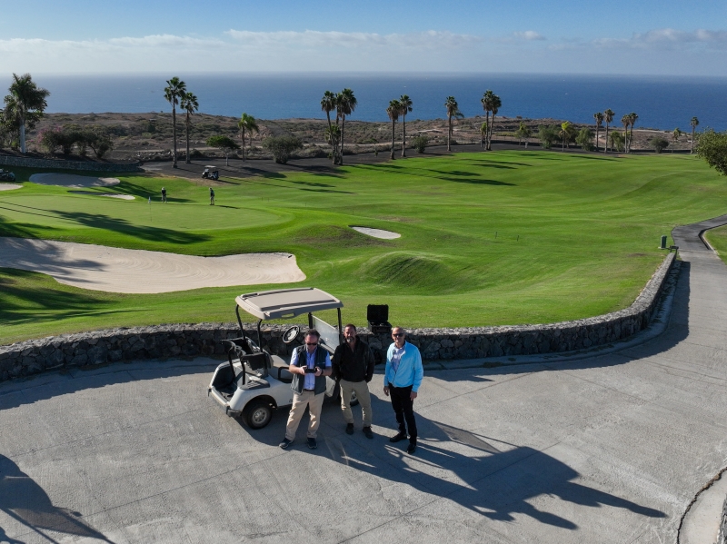
In climates like the Algarve or Canary Islands, where water scarcity and high temperatures put turf under constant pressure, the benefits of early detection are particularly clear. At Costa Adeje Golf in Tenerife, the technology has supported ongoing sustainability monitoring – helping the course team track turf stress and optimise irrigation scheduling across the season.
“Our goal is to make this technology practical, not complicated,” adds Otto. “We handle the science so that greenkeepers see only what matters — clear insights they can act on straight away.”
For more information, visit www.aerialdata.co.uk/golf-trial or contact [email protected].
Read also: